Earthgazing
Our planet seen from space, for your perusing and enjoyment.

"Glint" refers to the light patch north east of Madagascar
Sun glint over the Indian ocean
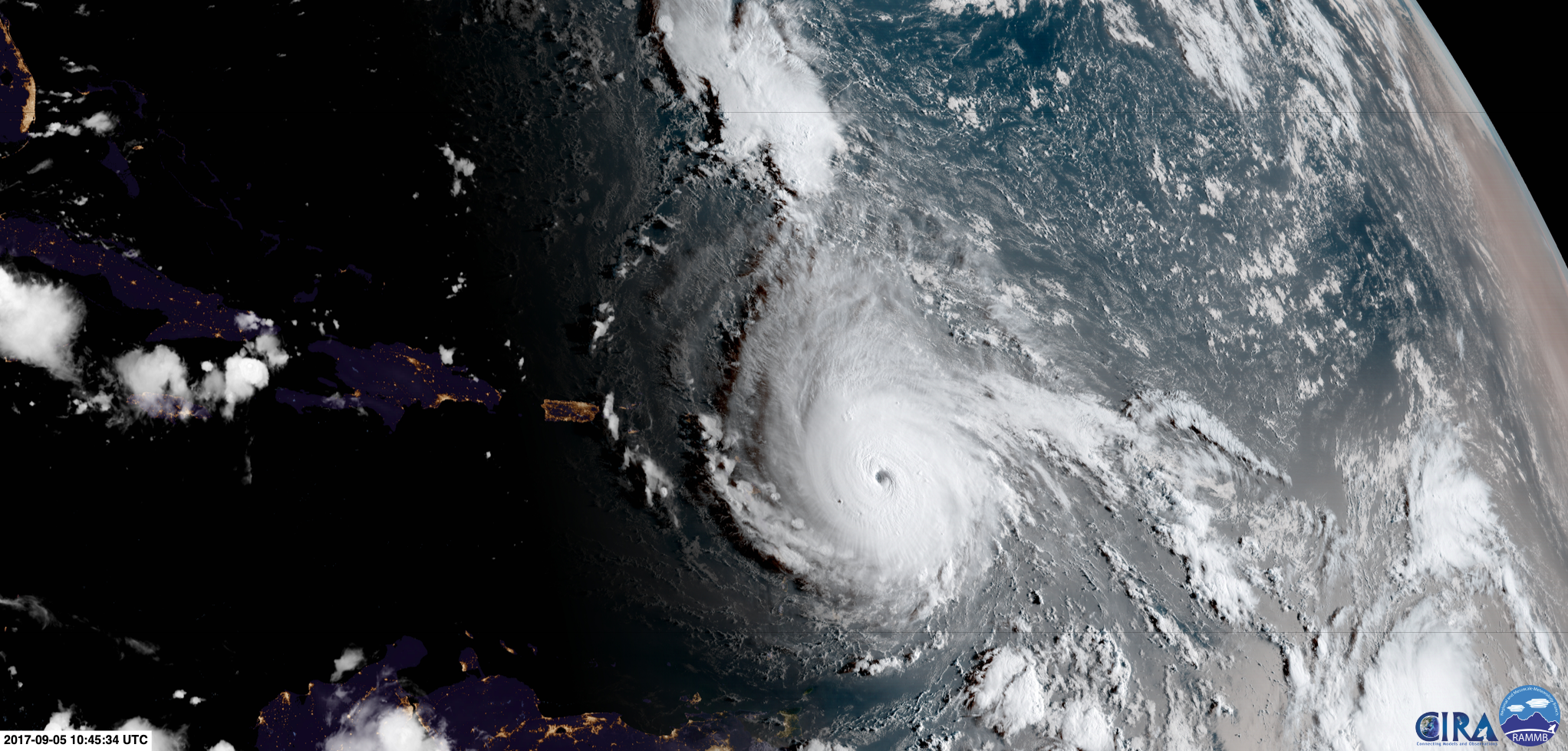
Sunrise and sunset enhance the perspective by casting long shadows. Irma eventually produced widespread damage throughout the Caribbean
Sunrise over hurricane Irma as it heads for the Caribbean
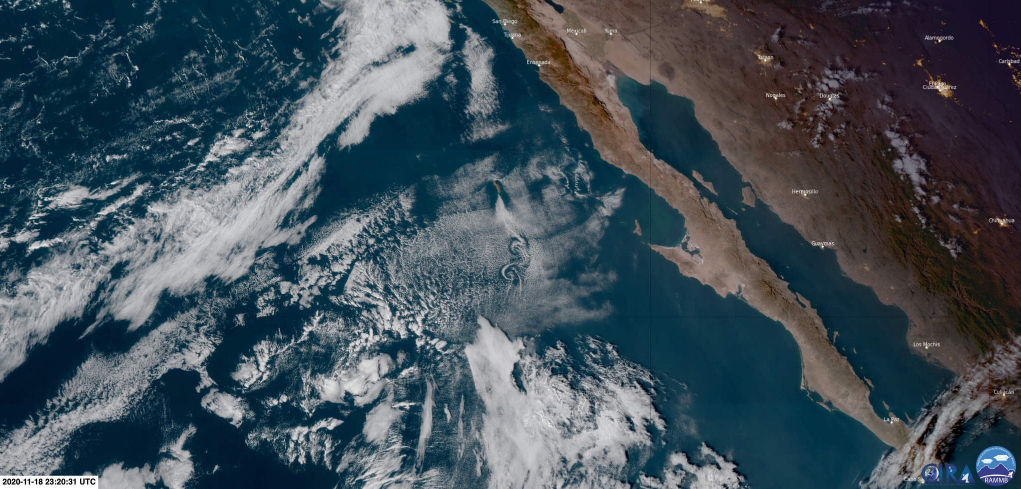
Vortex streets are the manifestation of vortex shedding behind an obstacle, here Guadalupe Island
Vortex street south of Isla Guadalupe
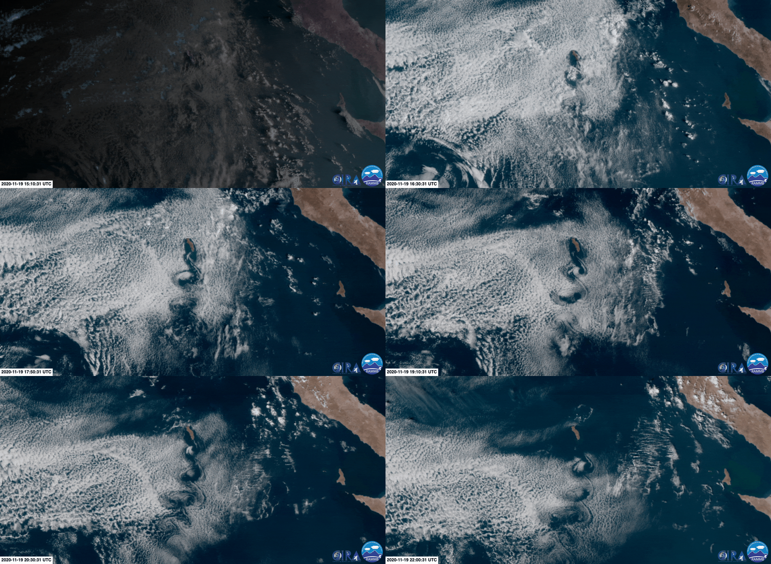
Vortex streets are the manifestation of vortex shedding behind an obstacle, here Guadalupe Island
Vortex street south of Isla Guadalupe
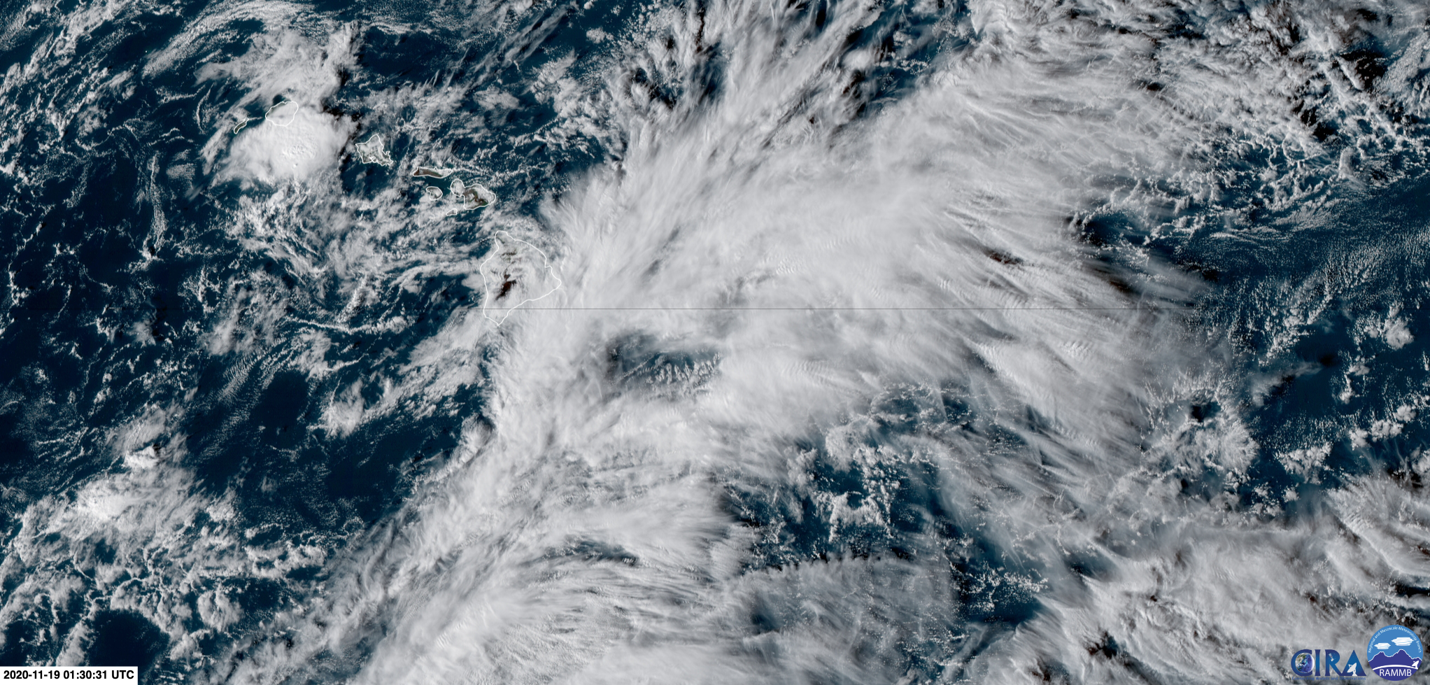
Multiple convective systems display atmospheric gravity waves (ripples) in their anvils
Waves in clouds near Hawai'i
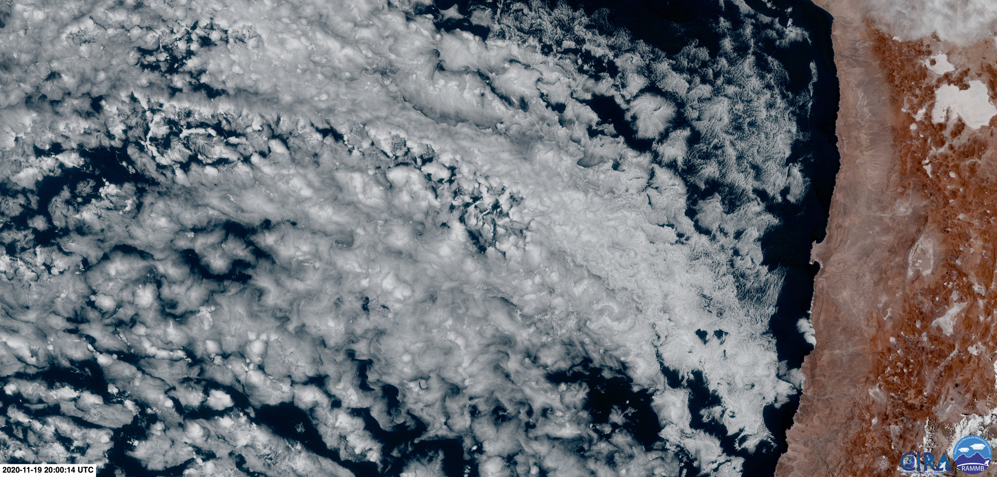
These geometrically pleasing clouds appear very frequently in this region
Swirly clouds (south Pacific)
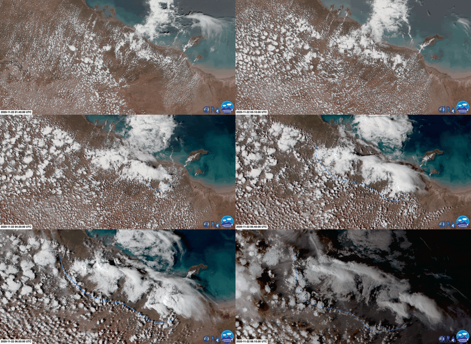
As thunderstorms develop, they produce cold air that sinks and spreads out, forming a ring of clear air (outlined in blue)
Cold pools (northern Australia)
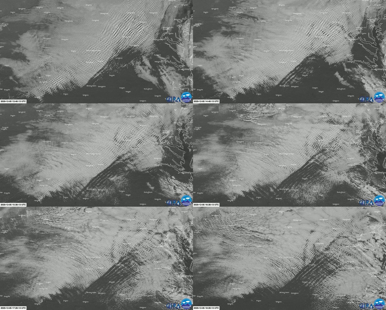
The atmospheric flow is perturbed by the Appalachian moutains, creating a pattern of standing waves, here visible in the cloud field
Stationary waves in the cloud canopy (USA)
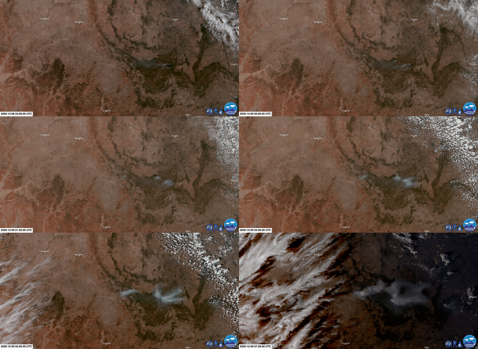
Intense wildfires can create convective clouds, sometimes penetrating the stratosphere
Pyrocumulus (Queensland, Australia)
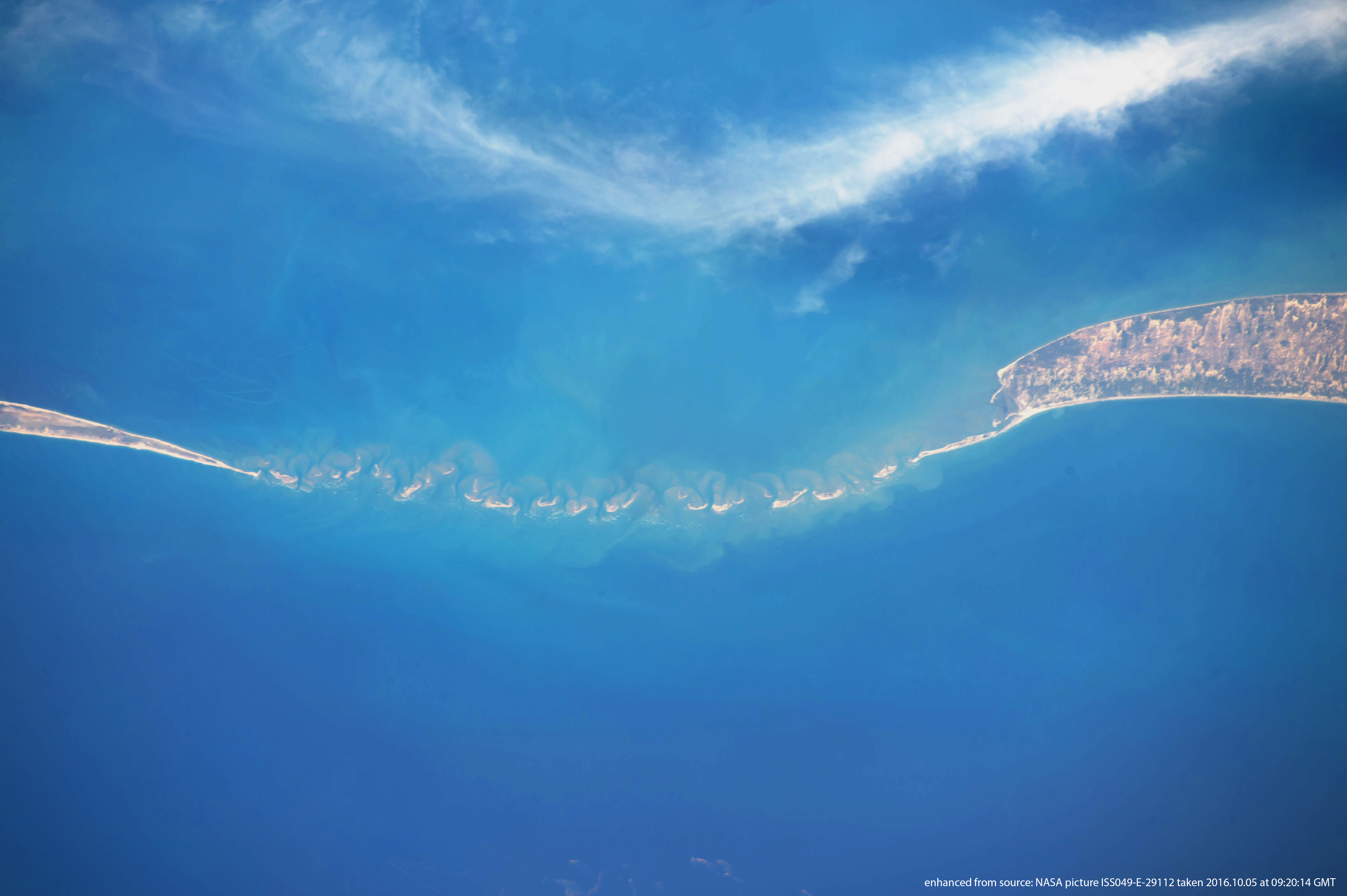
There may be no physical link between these clouds and the landscape--it is simply pretty
Clouds mimic Rama's Bridge (India/Sri Lanka)
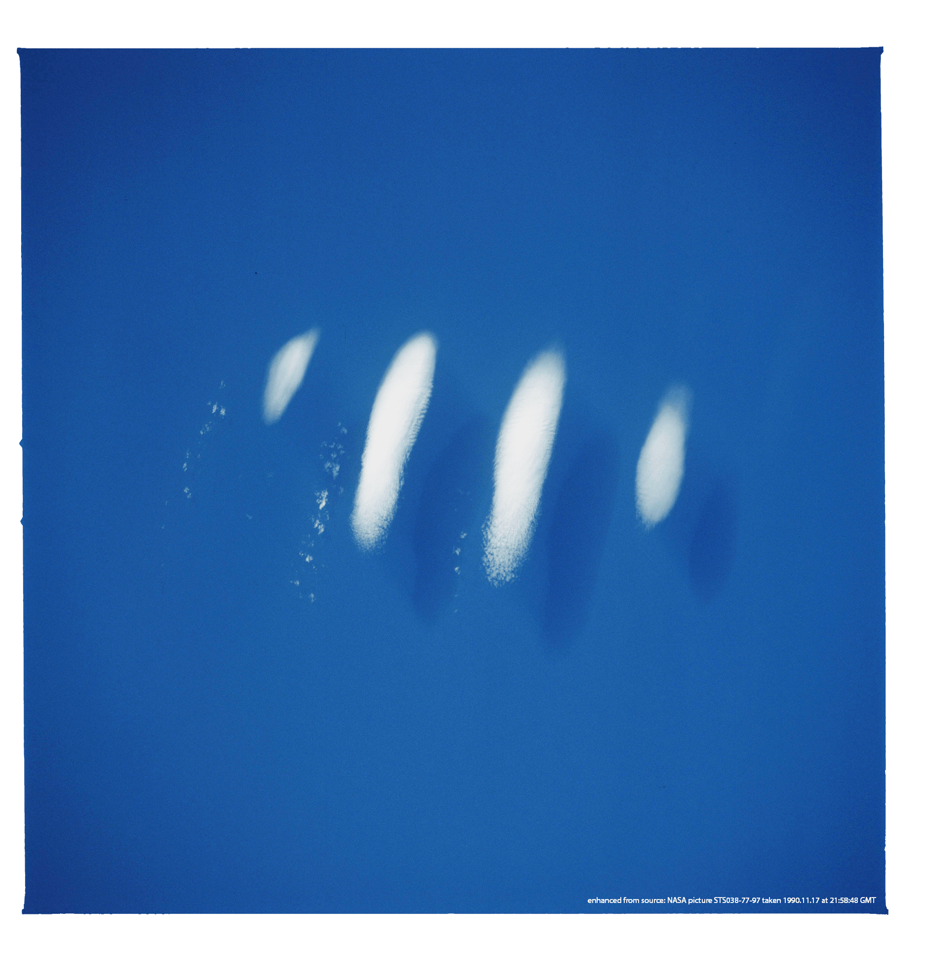
An atmospheric wave, made visible to the naked eye thanks to the presence of water in the atmosphere
Isolated gravity wave (eastern Pacific)

On a clear night, the Moon shines light onto currents and boat wakes on the sea surface
Moonlight reflection (Isola d'Elba, Italy)
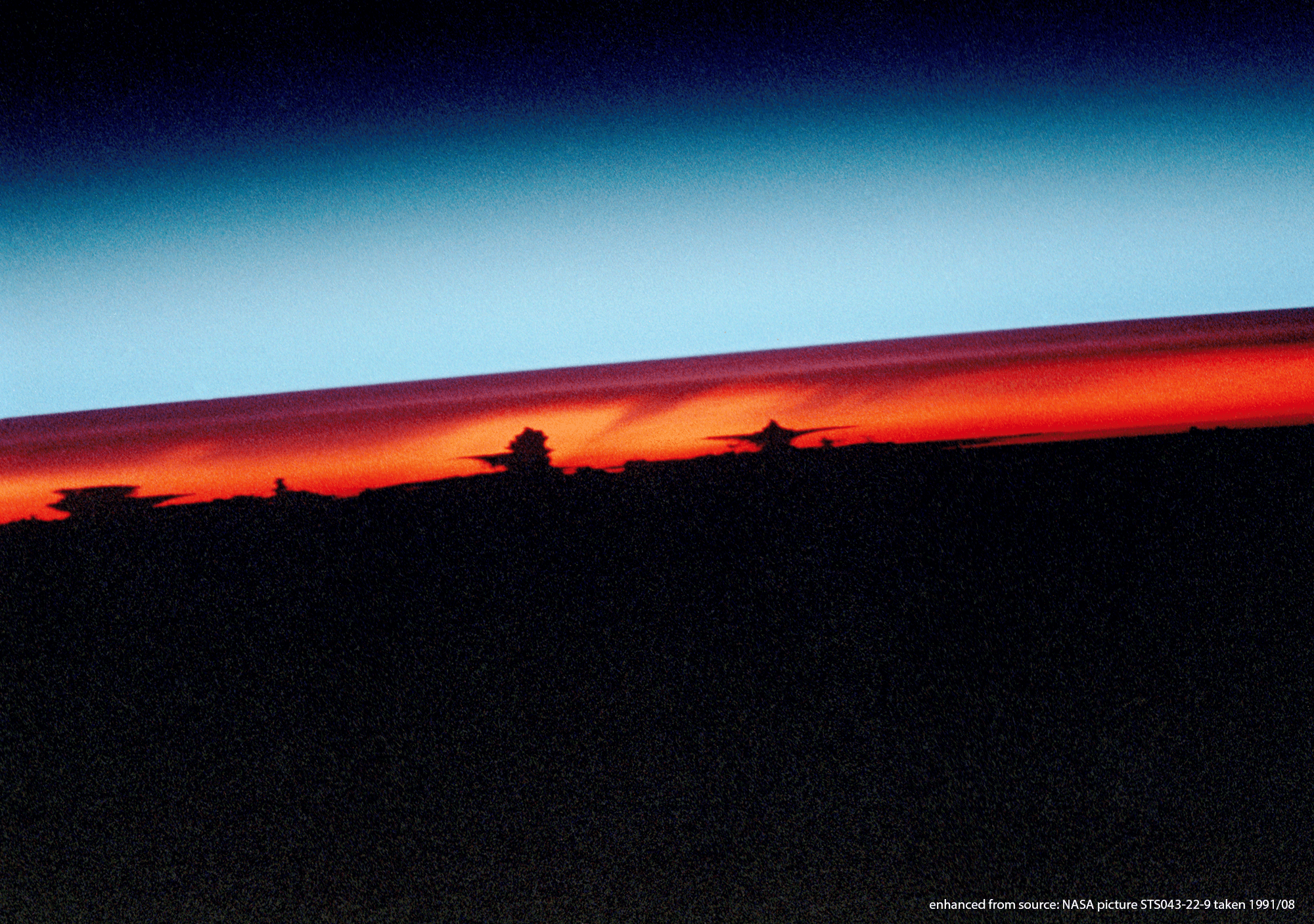
Astonishing side view of the atmosphere, revealing thunderstorms and their anvils (black), ash layers (dark red), and the stratosphere (blue)
Ash layers in the stratosphere above thunderstorms (Pinatubo eruption)
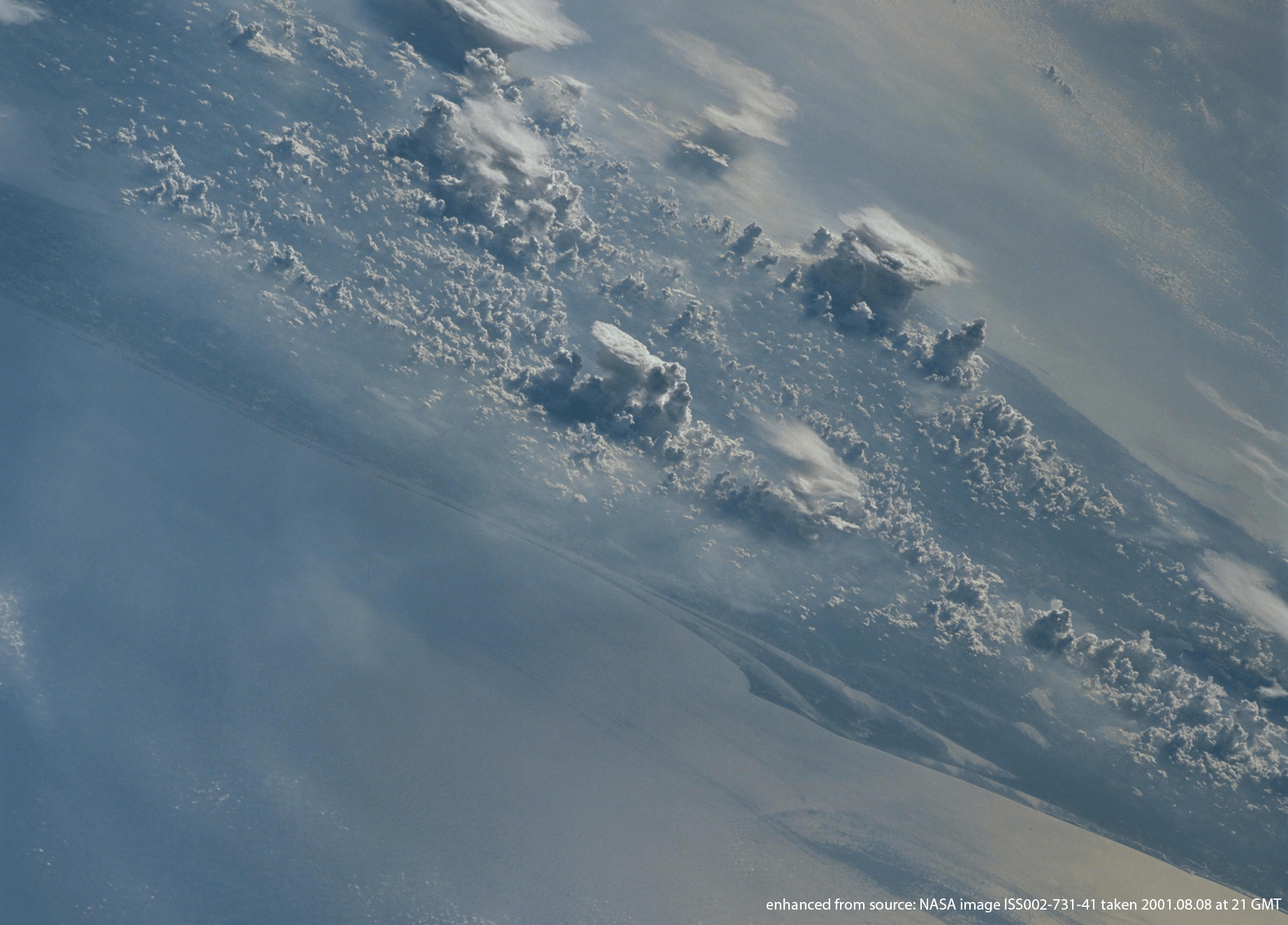
Convective instability leads to the development of convective clouds, some of which develop anvils where they reach a level of neutral buoyancy
Thunderstorms develop across Florida
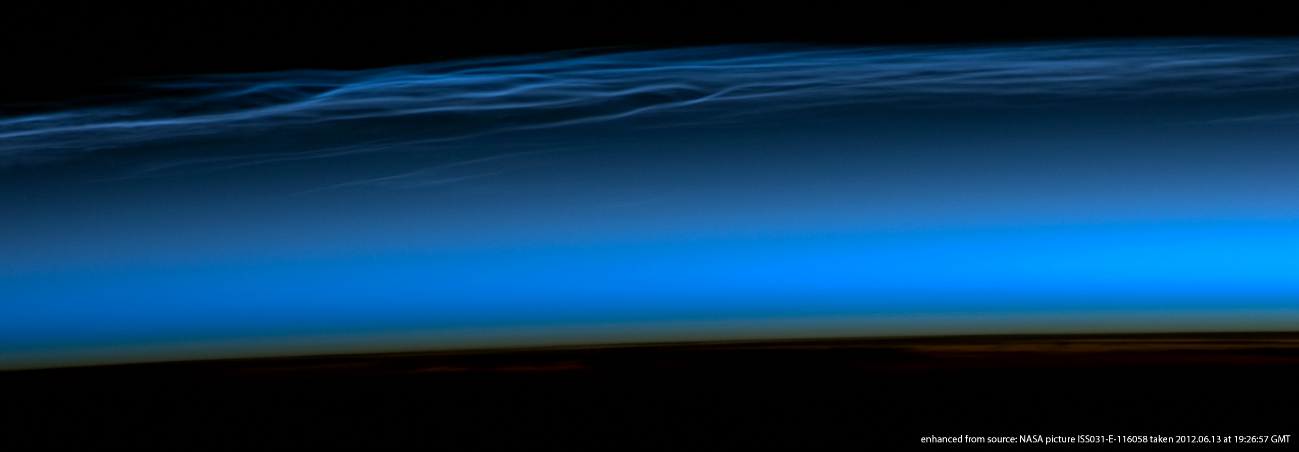
Polar mesospheric clouds form near 80 km altitude when the temperature is low enough that the small amounts of water vapor available turn into ice crystals
Noctiluscent polar mesospheric clouds (seen from Tibet)
Sprites are electrical discharges that occur in the mesosphere (50-80 km) above intense thunderstorms
Red sprites above a thunderstorm (Texas)
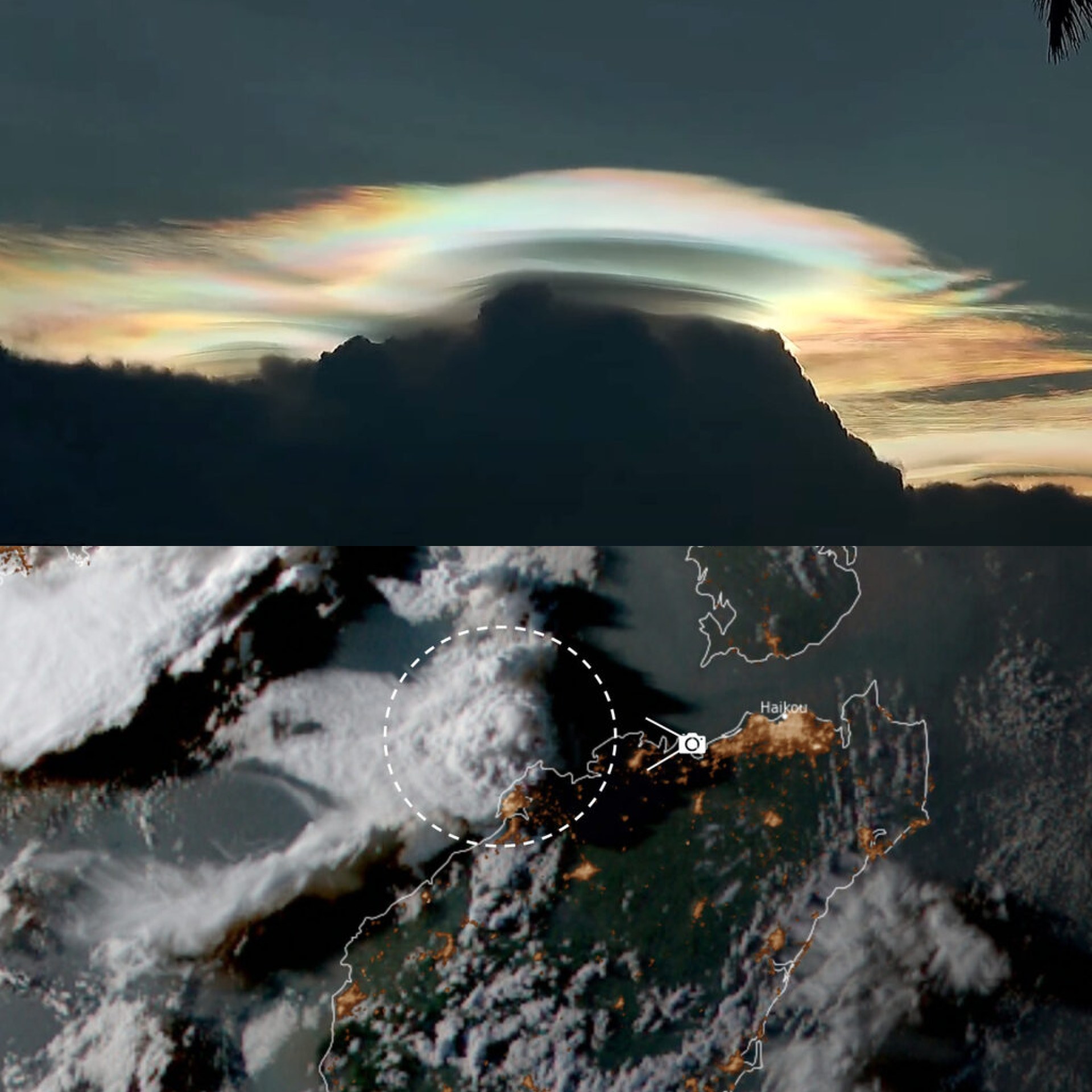
A pileus cloud photographed above cumulonimbi in southern China
Pileus above thunderstorms (China)
